Edmonton, Alberta / geospatial-temporal visualization
Maps of change.
I take open data, from city 311 tickets and aerial photos to river gauges and night-time satellite passes, and turn it into maps that move, so you can watch a place change over time. Most of it is about Edmonton and the way we get around it. The rest widens out to Alberta and then the whole country.
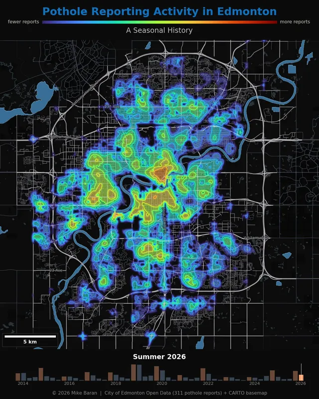
Edmonton
Pothole Season Is a Safety Season
Edmonton, Alberta · Spring 2014 – Summer 2026
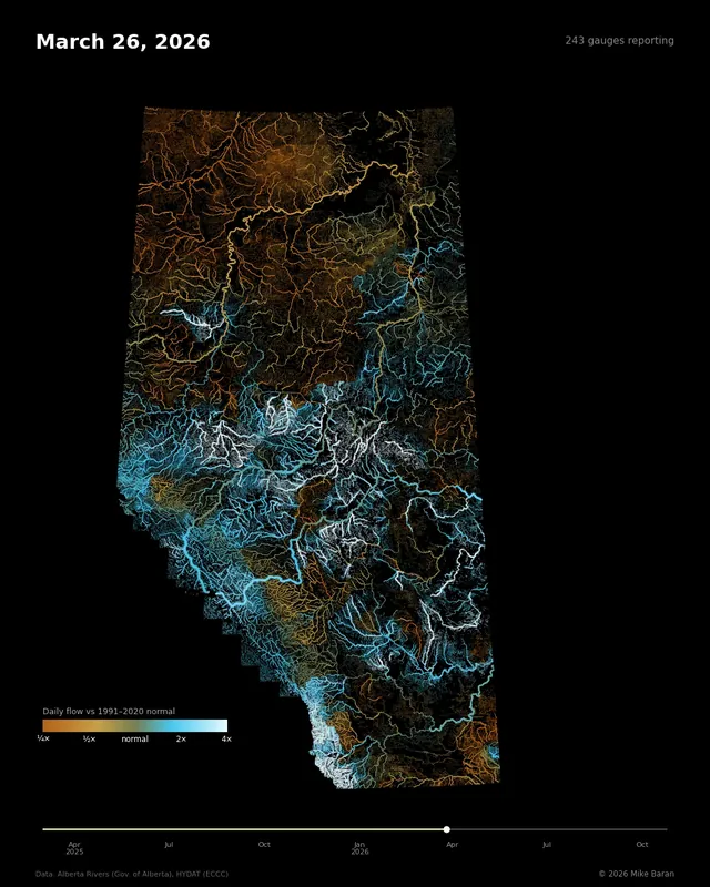
Alberta
Alberta's Rivers, Compared to Normal
Alberta · March 2025 – October 2026
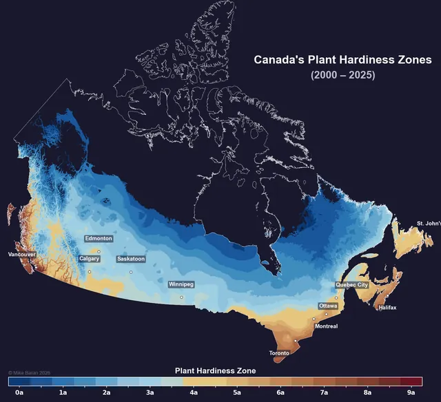
Canada
Canada's Growing Zones, Moving North
Canada · 1961–1990 → 1991–2020 climate normals